
Bill Rankin, 2011
download:
.PNG (3800x5600, 3 MB)
or:
zoom to street level
or:
zoom out
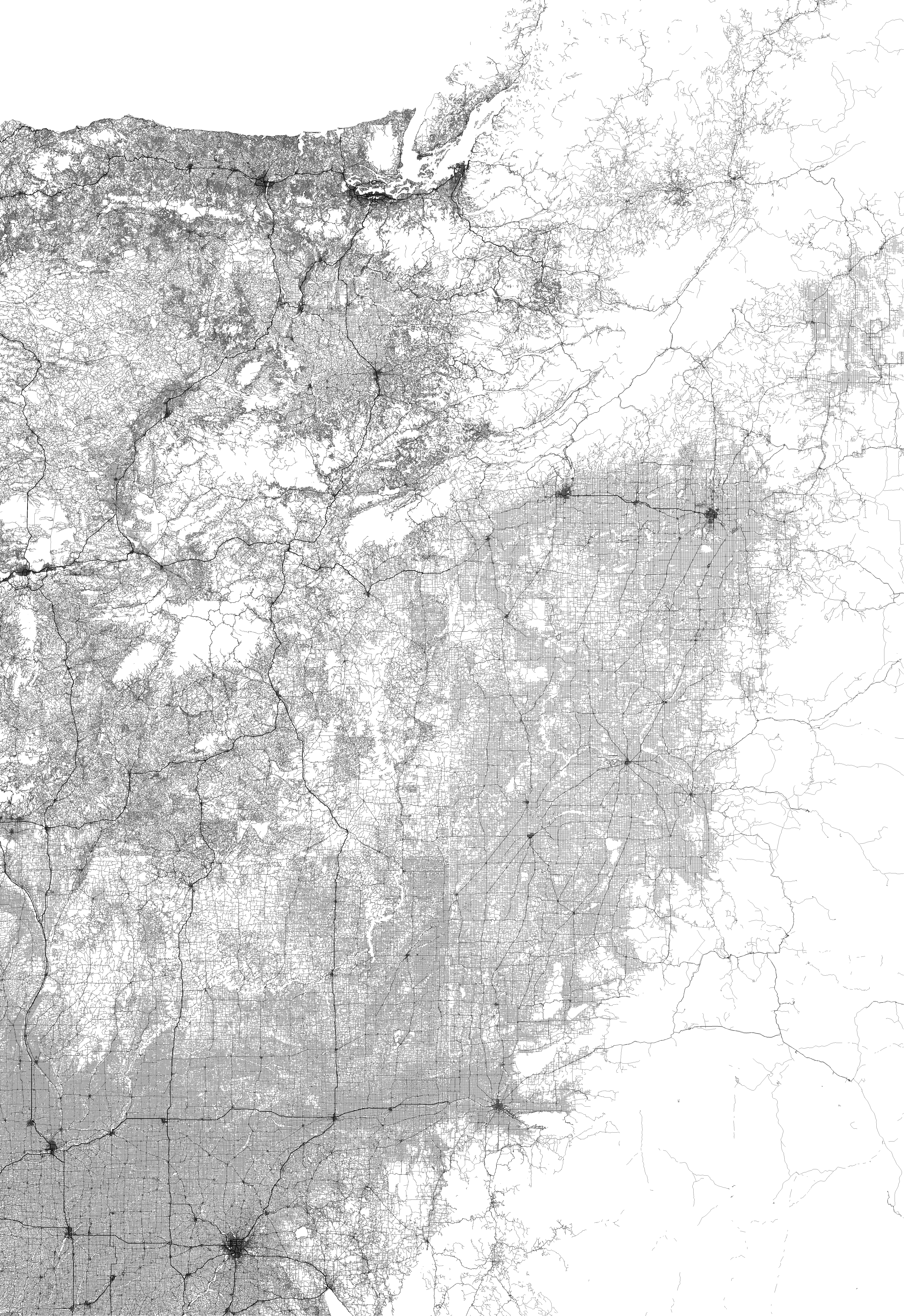
Ben Fry's map of all the streets in the contiguous U.S. has been around for a while, but my friend Kara just reminded me of it again and I began to think there might be a project in there after all. First, notice that the discontinuities in Ben's map are almost entirely artifacts of his census dataset; here's my version of the same map with better data.
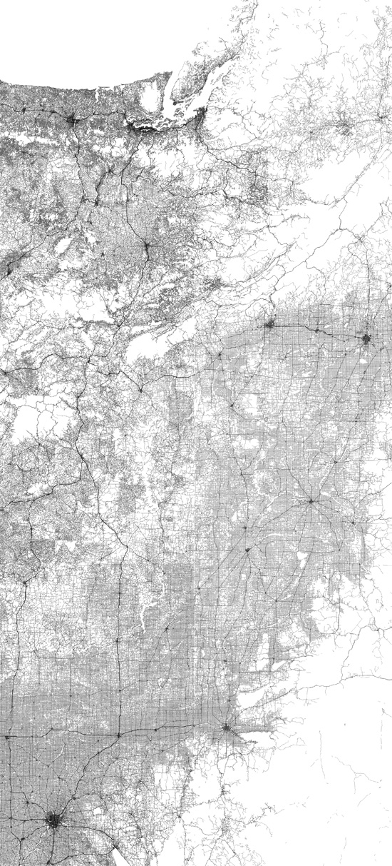
But second, these data-quality discontinuities got me thinking about the possibility of finding real discontinuities. The map here shows all the streets on either side of the US—Canada border along the 49th parallel — the longest straight-line border in the world, by far. (West is up, with the U.S. to the left and Canada to the right.) Although there are still some data problems in both countries — suspicious splotches, unexpected edges, disconnected roads — there's a subtle change at the border that seems undeniable. In Canada the Great Plains are more consistently gridded, while the mountains are much less accessible. This isn't a difference in data quality; it's a difference in national priorities and public-land management practices (U.S. national forests are full of roads; Canada crown lands are not).
And note that the border itself is visible as a thin white line where the local roads are all dead ends. Despite sharing such a long arbitrary border, most of which is open plains, there are only a handful of places where it can legally be crossed — the 54 border crossing stations shown with ● pink dots in the mouseover and street-level map.
Data from StreetMap USA (2000) and Statistics Canada (2005). Border crossings current as of January 2011; unstaffed crossings not included.
