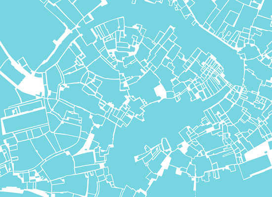
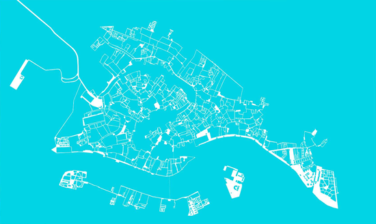
[central venice above; all of venice below]
[mouseover to see islands overlaid on blocks]
Roberto Casati, Magda Stanová, and Stéphanie Roisin, 2010
download:
full report (PDF)
Every city can be analyzed using figure-ground maps. But what should be the figure, and what should be the ground? And what do we do for cities that have two overlapping systems? Gondoliers in Venice circumnavigate islands, but pedestrians see blocks, which do not coincide with islands. The map in blue shows Venice as it is accessible to pedetrians.
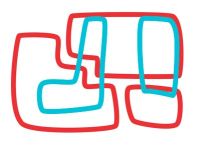
Given:1, blocks for pedestrians.
2, islands for gondoliers.
 We make a helpful taxonomy for those searching for their ideal surroundings.
Of 123 islands and 1027 blocks,

517 blocks have no banks

30 islands have no walkways

34 blocks straddle islands but have no bank

46 blocks straddle islands with some medial bank

24 blocks straddle islands with all medial bank

12 blocks straddle islands with a non-medial bank
111 blocks are hybrids

1 block-island
